
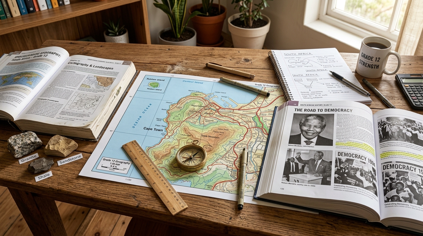
SACAI-aligned Grade 12 Geography Study Overview (Geografie Graad 12)
Complete mastery of Paper 1 (Climate, Weather & Geomorphology) and Paper 2 (Rural/Urban Settlement, Economic Geography & Mapwork/GIS Calculations). Includes SVG diagrams for mid-latitude cyclones, valley thermal inversions, and step-by-step 1:50 000 mapwork formulas.
Sign inSection 1: Climate and Weather (Klimaat en Weer)
1. Mid-Latitude Cyclones (Middellatitude-sikloon)
Mid-latitude cyclones (extratropical cyclones) travel from West to East across the Southern Ocean, guided by the Westerlies. In winter, the South Atlantic and South Indian Highs shift northwards, allowing cold fronts to sweep over southwestern South Africa, bringing rain, gale-force winds, and snow on high ground.
2. Valley Climates & Inversion Layers (Dalklimaat)
At night, higher slopes cool rapidly through terrestrial radiation. The air in contact with slopes cools, becomes dense and heavy, and drains down into the valley floor as a katabatic (gravity) wind. This traps cold air on the valley floor, creating a frost pocket and a warm thermal belt along the middle slope.
During the day, slopes receive direct solar insolation and heat up rapidly. Warm, less dense air expands and flows up the valley slopes as an anabatic wind, often causing condensation and upslope cloud formation.
Section 2: 1:50 000 Mapwork & GIS Formulas
Carries 30 Marks in the examination. Mastering these calculations helps target top marks in mapwork calculations.
\(\text{Gradient} = \frac{\text{Vertical Interval (VI)}}{\text{Horizontal Equivalent (HE)}}\)
• \(\text{VI} = \text{Height difference between two points (in metres)}\)
• \(\text{HE} = \text{Measured distance in cm} \times 500\text{ m (for a 1:50 000 map)}\)
• Convert both to same unit (metres) → divide top and bottom by VI to get \(1 : x\) ratio.
Calculate the average gradient between Spot Height 1420 and Trig Beacon 214 (height 1560 m). The distance on the 1:50 000 map is 3.5 cm.
\(\text{Present Declination} = \text{Mean Declination on Map} \pm (\text{Annual Change} \times \text{Difference in Years})\)
• If annual change is Westwards: ADD to mean declination.
• If annual change is Eastwards: SUBTRACT from mean declination.
• \(\text{Magnetic Bearing} = \text{True Bearing} + \text{Magnetic Declination}\)
3. Geographic Information Systems (GIS) High-Yield Concepts
- Spatial Data: Data with geographical coordinates. Represented as Vector (Points = trees/wells, Lines = roads/rivers, Polygons = farm boundaries) or Raster (pixels/grid cells, like satellite imagery).
- Attribute Data: Descriptive non-spatial data describing the characteristics of a feature (e.g. name of river, population of town, soil pH).
- Buffering: Creating a zone of specified distance around a geographic feature (e.g. creating a 50m green buffer zone around a river to prevent pesticide contamination).
- Data Layering: Superimposing multiple thematic layers (vegetation, topography, land use, infrastructure) to perform suitability analysis.
Prepare for Your SACAI Geography Exam
Browse our extensive archive of 30+ official SACAI Geography question papers, topographic maps, and marking guidelines.
Browse SACAI Geography Past Papers